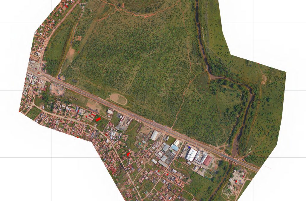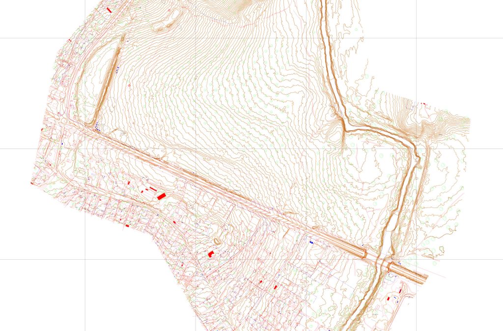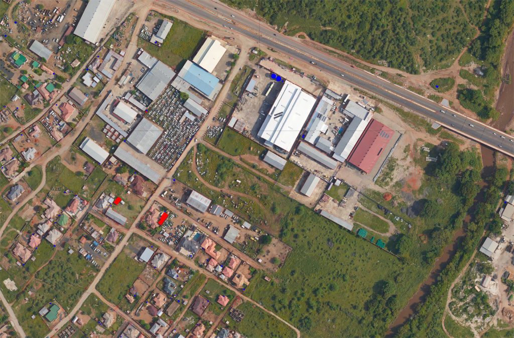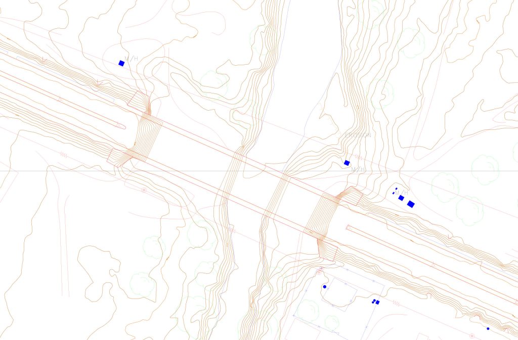

Aerial Drone LiDAR Survey & Mapping
Our Aerial Drone LiDAR (Light Detection and Ranging) survey service provides accurate, high-resolution 3D mapping of large or hard-to-reach areas. Mounted on unmanned aerial vehicles (drones), our LiDAR systems capture millions of precise measurements per second, creating detailed 3D point clouds of terrain, vegetation, and infrastructure. This allows for rapid and safe surveying of areas that would be difficult, dangerous, or time-consuming to access with traditional methods.
The collected data is processed to generate topographic maps, 3D models, and contour plans, which can be exported in formats suitable for CAD, GIS, or BIM applications. Drone LiDAR is ideal for:
- Land development and planning
- Infrastructure inspection (roads, bridges, railways, powerlines)
- Environmental and forestry surveys
- Volume calculations and stockpile measurements
Benefits include:
- Fast, non-intrusive data collection over large areas
- Highly accurate elevation and terrain information
- Integration with CAD, GIS, or BIM for design and analysis
- Safe surveying of difficult or hazardous sites


Our Drone LiDAR surveys provide clients with reliable, actionable data to inform planning, design, and decision-making, while reducing risk and site disruption.